
Mad about Maps!
Here we look at what an old map of Gloucestershire can teach us about Local History and Geography.
At Gloucestershire Archives, there are a variety of different and interesting maps that reveal lots to us about Gloucestershire's past. Here are some examples of the maps at Gloucestershire Archives:
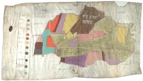
This map from 1592 is brightly coloured and drawn on parchment. It shows an area of Todenham in Gloucestershire. (Document reference number: D1099/P1)
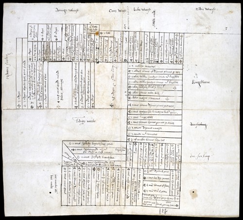
This fascinating map from 1574 is the earliest recognisable map held in Gloucestershire Archives. It shows an area around Lydney Marsh in the Forest of Dean. The area is broken down into blocks, which represent different strips of land used for growing crops. (Document reference number: D421/A1/4)
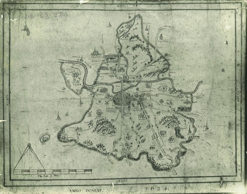
This map is from 1624 and shows the city of Gloucester.
Here is a map we will be looking at in a bit more detail:
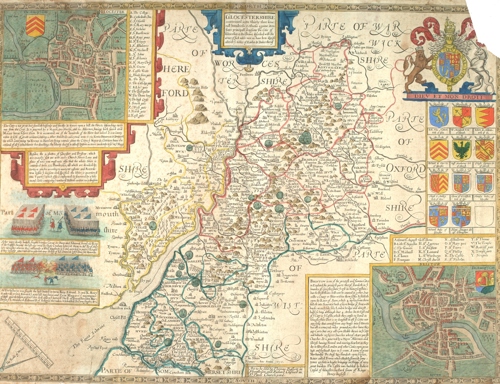
This is "John Speed's Map of Gloucestershire" from c. 1611 (document reference number: D10820/Maps/2/3). Below is a video where you can learn more details about this fascinating map.
Before you start the video, it might be useful to download/print (JPG, 1.3 MB) out the map discussed.
A follow up activity could include making your own map: Make Your Own Marvellous Map (PDF, 407.8 KB)